Over the weekend, the search for missing Malaysia Airlines flight MH370 widened to include thousands of miles of the southern Indian Ocean along with most of central Asia. The plane was last pinpointed by military radar 200 miles off the western coast of Malaysia on the traditional flight path toward Europe, but no country since has reported spotting MH370 in its airspace.
For all the attention focused on radar, though, another monitoring system could eventually prove more important in finding the missing plane. If indeed the plane crashed in the ocean and some debris turns up, then authorities may be able to locate the site of the crash and the plane's remains using one of the state-of-the-art models created by oceanographers to map ocean currents.
Though often used to predict future patterns in the ocean’s currents, oceanographic models like the Regional Ocean Monitoring System can also give insight into the past. Javier Zavala-Garay, a researcher at Rutgers’ Ocean Modeling Group, said in an email, “The new techniques implemented in ROMS allow us to evolve the model 'backwards in time' in the sense that if we know where the debris is located, say today, we could trace its position back in time to know where the debris was six days ago.” (Zavala-Garay’s group has a ROMS model that includes the South China Sea and Gulf of Thailand.)
Oceanographers use information like sea-surface height, ocean vector winds and sea surface temperature to calculate currents in near-real time. The Ocean Surface Current Analyses Real-time (OSCAR), for instance, uses data from NASA and NOAA satellites to display current patterns over five-day intervals. Kathleen Dohan, a research scientist at OSCAR, stressed that models and measurements would only be able to give a general sense of direction and speed. For instance, as the following map provided by Dohan shows, if debris from flight MH370 was found near its last known radar location, we would expect it to be moving roughly north at .5 meters per second—around 25 miles per day—as of March 12.


More specific pinpointing is not possible due to the inherent turbulence of ocean currents. “You can get a general feel for the plausibility and the sense of where [debris] could have gone,” explained Dohan, “but going off just a little bit into a filament could put you off into another large eddy that takes you in a completely different course.” Additionally, “if a lot of the plane is sticking up out of the water and winds are blowing, they’re going to push the surface part.”
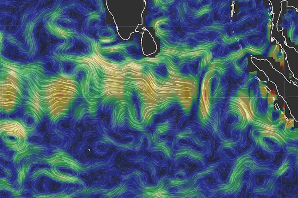
To see where currents in the Indian Ocean and South China Sea have recently been aimed, you should check out earth, Cameron Beccario’s beautiful animated map based on weekly updates of data from OSCAR.
