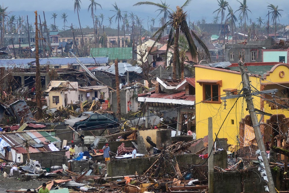
As the Philippines struggle to recover from Typhoon Haiyan—which killed thousands of people and is one of the most intense tropical cyclones on record—a new UN report suggests the South Pacific should prepare for more catastrophes.
2013 is set to be among the ten warmest years since modern records began in 1850, and sea levels are at their highest point ever, making low-lying coastal regions more vulnerable to super storms like Haiyan, the World Meteorological Organization said Wednesday.
Global sea levels are currently rising at a rate of 3.2 millimeters per year, double the average rate during the 20th century. In the Philippines, sea levels are rising at four times the global rate at 12 millimetres per year.
"Although individual tropical cyclones cannot be directly attributed to climate change, higher sea levels are already making coastal populations more vulnerable to storm surges. We saw this with tragic consequences in the Philippines," WMO head Michael Jarraund said.
The Philippines is still recovering from Typhoon Bopha, which last year left more than 2,000 dead or missing.
The map below, which shows the average sea level change per year, illustrates why the Philippines and the South Pacific are likely to bear the brunt of climate change side effects in the future.
